We're hiring! Click to see available positions
We're hiring! Click here to view available positions
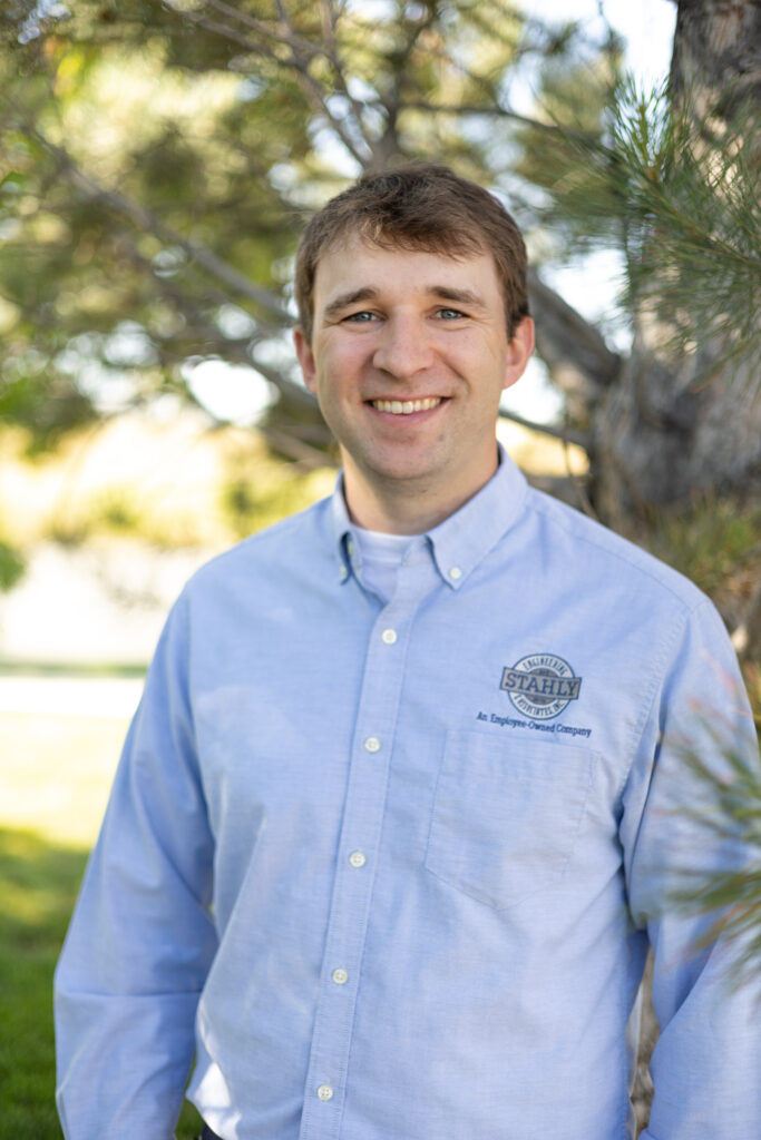
Ryan Harbach, serving the Helena Region from Great Falls, is an integral member of Stahly Engineering & Associates, Inc. as the Remote Sensing Category Lead, survey technician, and UAV drone pilot. Serving the company for the past 7 years, Ryan brings extensive expertise in surveying, GIS, and data collection using UAS, GPS, and conventional methods. His educational and professional background in wildlife management and forestry further enhances his skill set. With his diverse knowledge and experience, Ryan plays a crucial role in utilizing advanced remote sensing technologies to gather accurate data and contribute to the success of projects undertaken by Stahly Engineering & Associates, Inc.
Stahly Engineering is available to help you plan and execute your next project involving engineering, survey, or grant services.
Helena, MT Office
3530 Centennial Drive
Helena, MT 59601
Billings, MT Office
2223 Montana Ave, Suite 201
Billings, MT 59101
Bozeman, MT Office
851 Bridger Drive, Suite 1
Bozeman, MT 59715
Great Falls, MT Office
219 2nd Ave S, Suite 302
Great Falls, MT 59405
Cody, WY Office
1001 12th Street
Cody, WY 82414
We're hiring! Click to see available positions