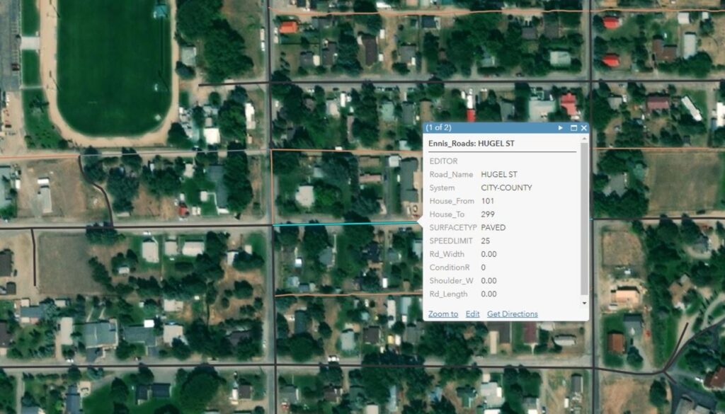
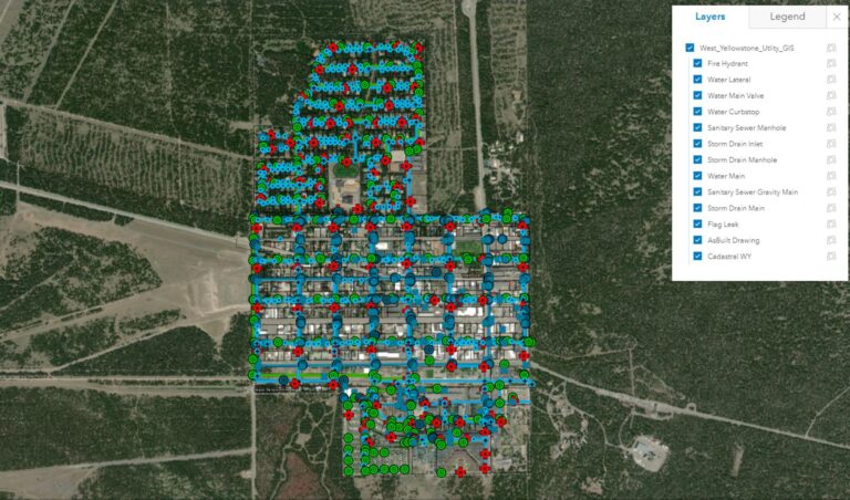
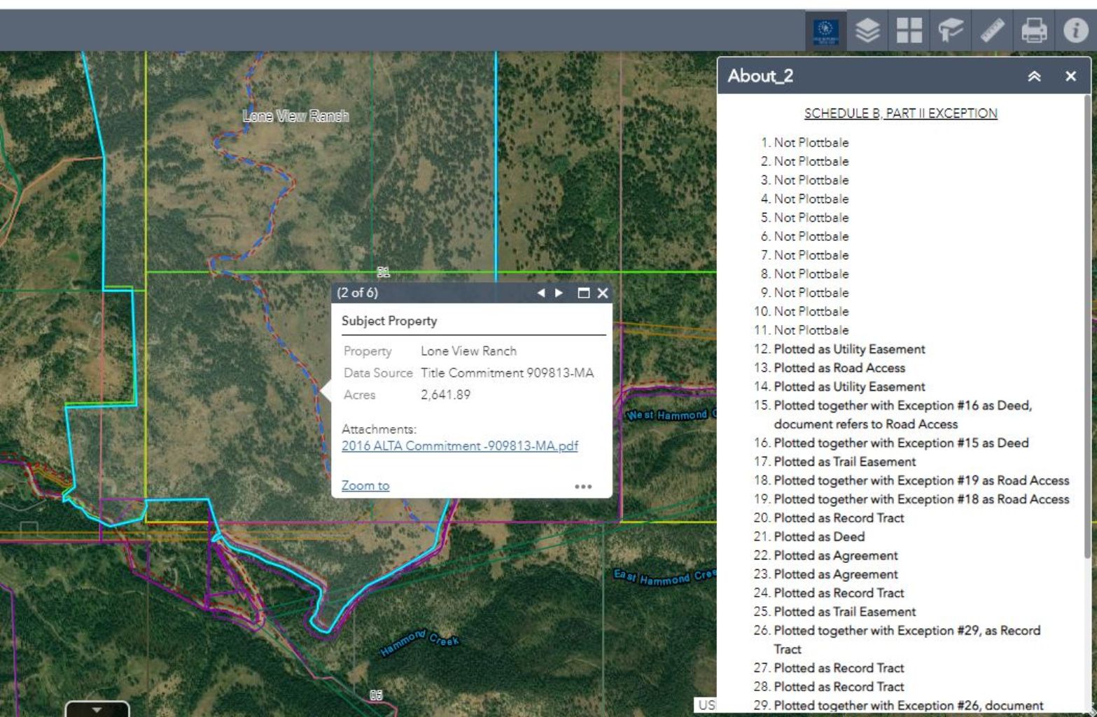
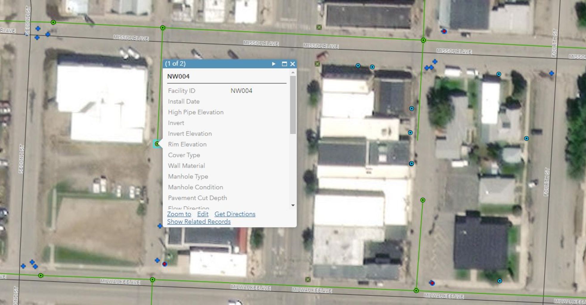
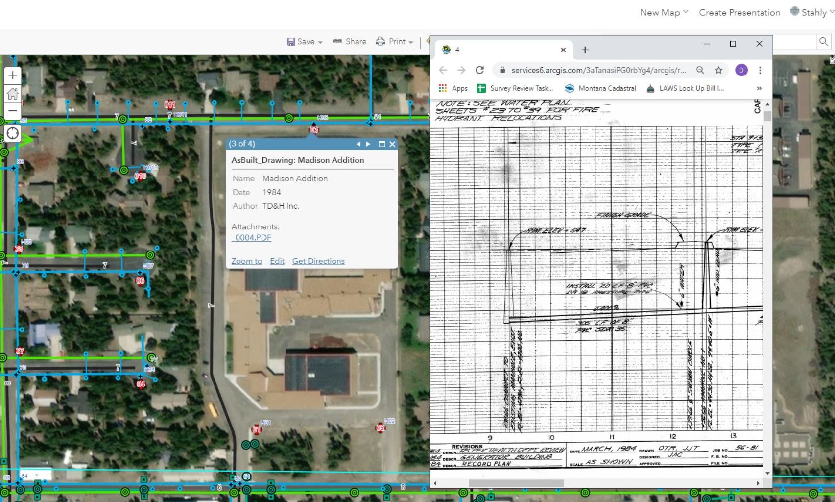
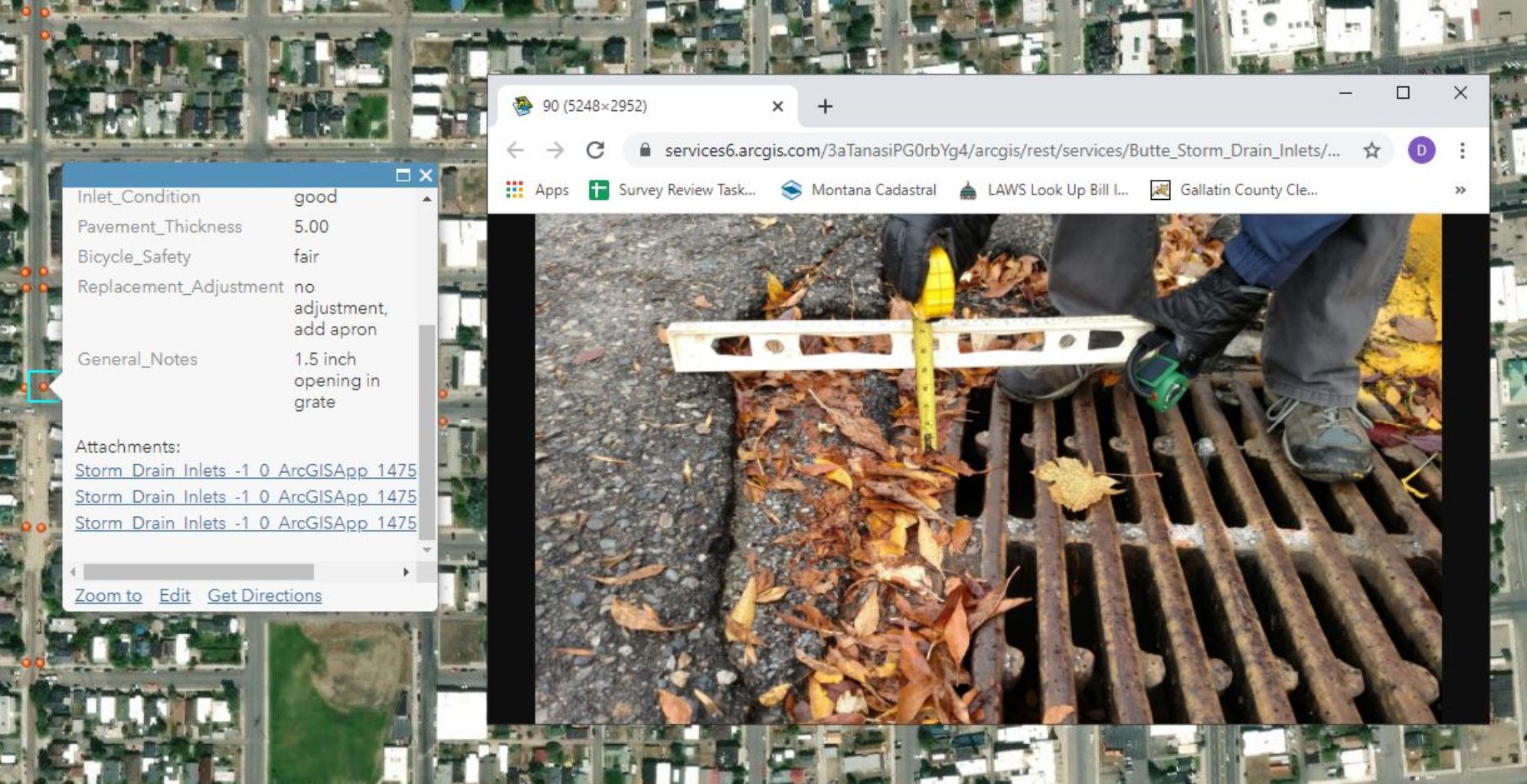
GIS stands for “Geographic Information Systems”. Stahly’s GIS department creates maps linked with information such as infrastructure inventory, road easement information, and land records. Other data we can include in linked maps include fencing information, water rights and associated data, parcel deeds, etc. These maps are customized to individual public or private entity needs and can include as much or as little linked data as the client desires. The end user deliverable we call a “Smart Map” and it can be used on almost any computer or other device that has the ability to read pdf documents.
Got a project in mind?
Drop us a line today and tell us about it. Our friendly staff is standing by to answer your questions and get your project across the finish line.
Related Projects
Loading...
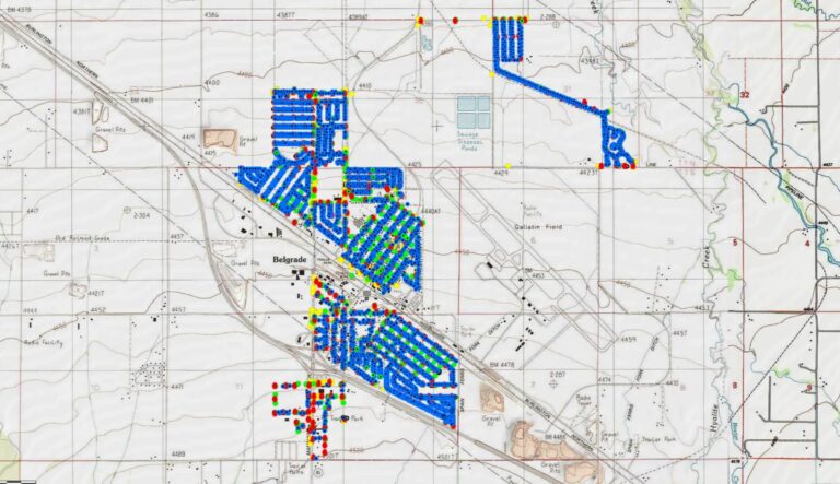
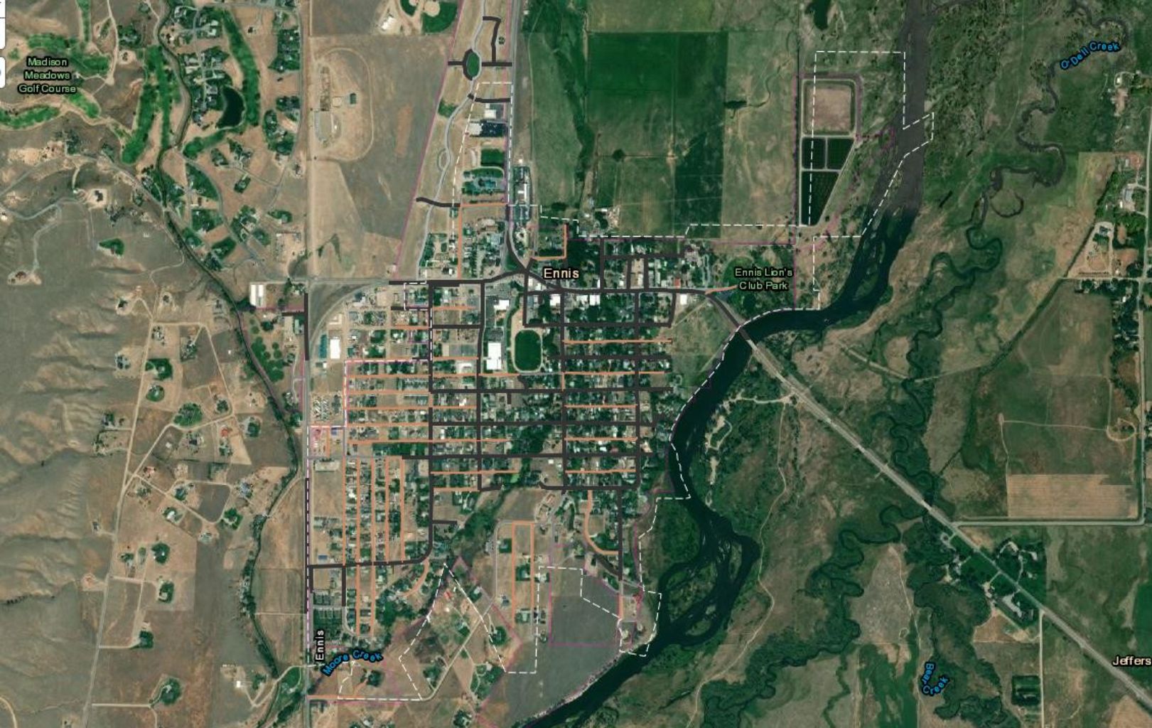
City of Belgrade GIS
Stahly Engineering was contracted to collect the City of Belgrade's infrastructure data and assist in writing a MLIA grant for the city.