We're hiring! Click to see available positions
We're hiring! Click here to view available positions
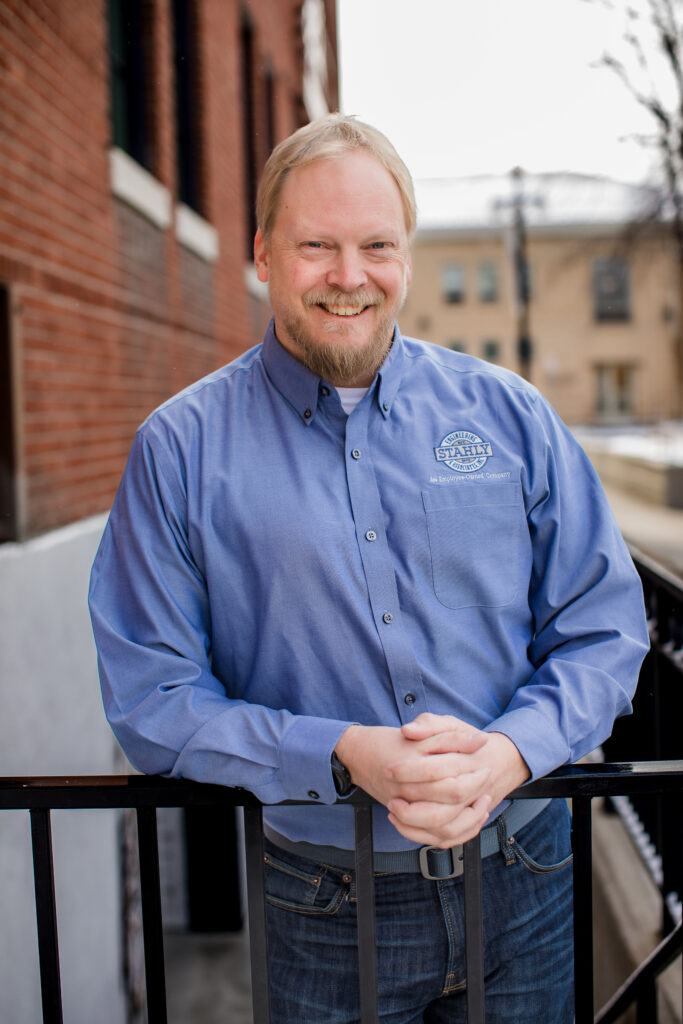
Chris Kosine is an accomplished senior-level surveyor with a proven track record in effectively managing survey crews and ensuring timely and budget-compliant project completion. He has extensive experience in conducting topographic surveys to create accurate engineering base maps. Chris is proficient in utilizing AutoCAD Civil 3D to generate base maps for engineering design purposes. His expertise also extends to construction survey tasks, including infrastructure staking and curb and gutter staking. Chris leverages drone technology to collect photogrammetric data and produce detailed contour maps for engineering designs and exhibits. Moreover, he possesses the ability to create certified corner records and subdivision plats using AutoCAD Civil 3D, which are essential for recording purposes. Registered in MT and WY.
Stahly Engineering is available to help you plan and execute your next project involving engineering, survey, or grant services.
Helena, MT Office
3530 Centennial Drive
Helena, MT 59601
Billings, MT Office
2223 Montana Ave, Suite 201
Billings, MT 59101
Bozeman, MT Office
851 Bridger Drive, Suite 1
Bozeman, MT 59715
Great Falls, MT Office
219 2nd Ave S, Suite 302
Great Falls, MT 59405
Cody, WY Office
1001 12th Street
Cody, WY 82414
We're hiring! Click to see available positions